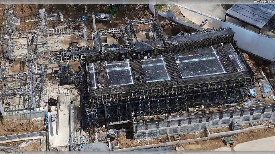
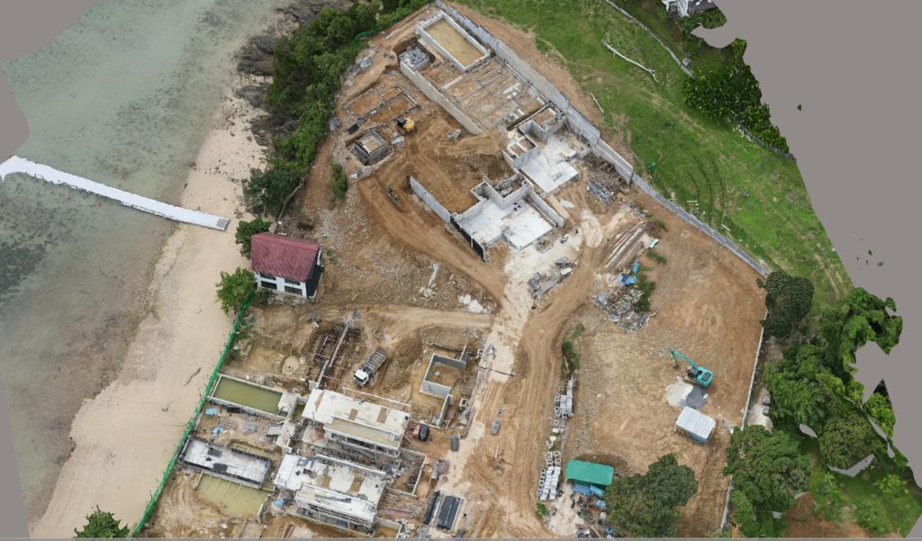
construction monitoring
we revolutionize construction monitoring through our advanced drone technology. Our drones capture high-resolution photos that are transformed into detailed 3D maps, providing invaluable insights for various construction management needs.
Key Benefits of Our Construction Management Drone Services:
Detailed 3D Mapping: Our drones generate precise 3D maps using high-quality aerial photographs. These detailed maps serve as a foundation for comprehensive construction planning and analysis.>
Versatile Applications: The 3D models created by our drones find application across multiple domains, including:
- Site Survey & Planning: Plan your construction layout with accuracy, utilizing our detailed 3D maps for optimal site design.
- Progress Monitoring: Track the construction progress, ensuring projects stay on schedule and within budget.
- Inspection & Quality Control: Conduct thorough inspections, identifying defects and ensuring construction quality standards are met.
- Safety & Risk Management: Survey hazardous areas and assess risks, promoting a safe construction environment for workers.
Enhanced Decision-Making: Our 3D mapping provides construction managers with critical data, enabling informed decisions. Visualize the project from every angle and address challenges proactively.
Efficiency and Precision: Avilon’s drones streamline the construction management process, saving time and resources. The precision of our 3D mapping technology ensures accurate project documentation.